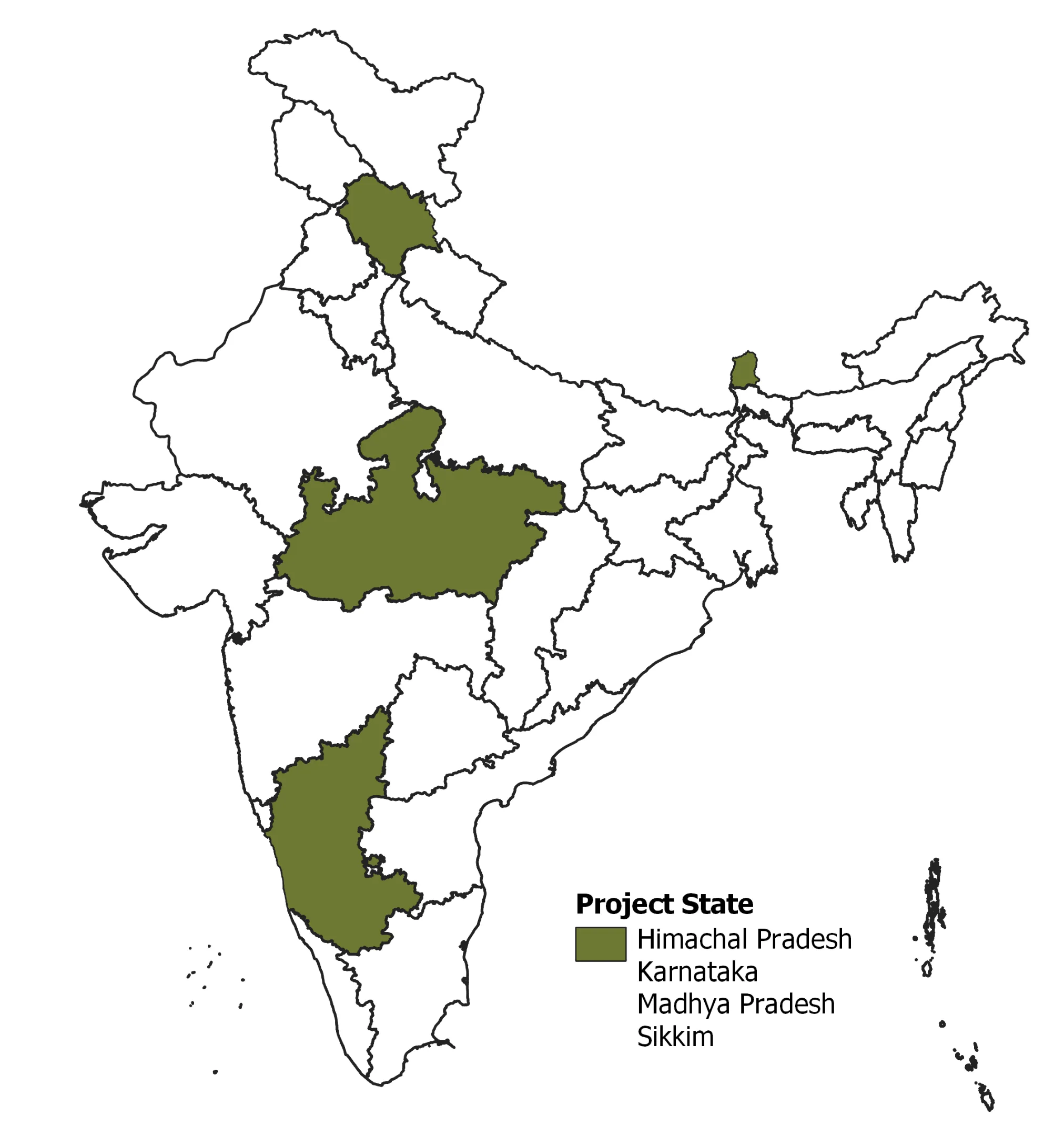
Project Duration – Oct 2019- Ongoing
Addressing the problem of dealing with complex and high dimensional data, IORA is collaborating with The University of Cambridge under the Engineering and Physical Sciences Research Council (EPSRC) and Global Challenges Research Fund (GCRF) project to develop novel satellite image analysis and machine learning tools supporting health and environment modelling in India. The project will develop new algorithms to map tree species from India’s forests using air-borne hyperspectral imagery data made available through NASA and ISRO. This species-level mapping attempts to mark and identify the extent of plantation cover vs natural forests. It will facilitate improved decision making for effective & robust forest management with minimal loss in quality and biodiversity. Additionally, these activities will benefit the forest-dependent local communities and will help in mitigating climate change. The project is supported by an interdisciplinary project team of researchers and stakeholders from academia and industry, and therefore seeks to contribute to improved decision making in forest policies in India.