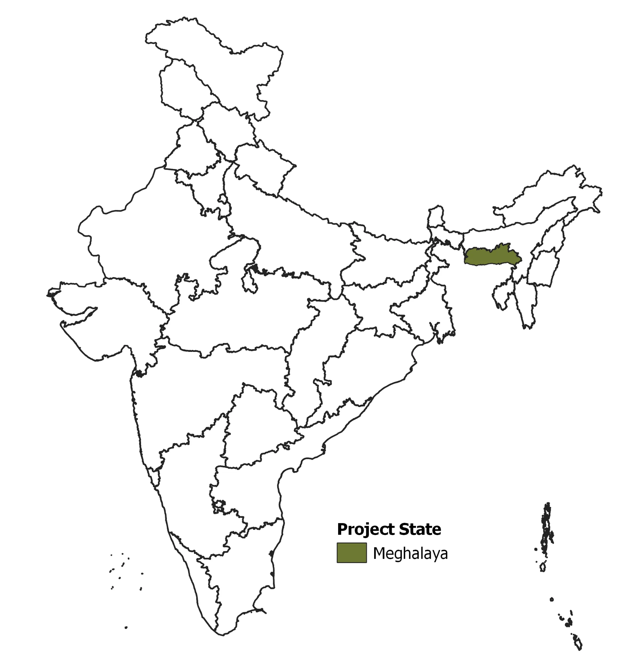
Project Duration – Sept 2020-Aug 2021
Aspiring to restore the degraded landscapes, build climate resilience and generate livelihood opportunities in the state, Meghalaya Basin Management Agency (MBMA) is implementing a 5-year (2018-2023) Meghalaya Community Led Landscape Management Project (MCLLMP) supported by the state government and the World Bank.
The project focusses on systematically strengthening the planning and management of natural resources in the state using techniques that support and strengthen the traditional community led landscape management approach with appropriate scientific technology and financial mechanisms.
The proposed NRM interventions will be implemented across 400 villages using a decentralised and participatory approach.
IORA assisted MBMA in generating several accurate thematic baseline datasets using high resolution RESOURCESAT-1/2, LISS IV (5m) satellite images. We are designing the temporal Land Use Land Cover (LULC), vegetation indices and carbon stock maps to assist the local communities to visualise the land use and to understand the status of natural resources in the landscape. This will further assist the communities and other local staff to prepare their own integrated NRM plans (resource mapping, data collection, land use planning, project design and monitoring).
We focussed on building capacity of stakeholders, by training them on application of geospatial science in land use mapping and monitoring of natural resources.
The project was an endeavour to integrate the concepts of traditional community driven landscape management approach with spatial science to enable the development of a scientific and effective NRM plan.


