Project Duration – Oct 2018- Feb 2020
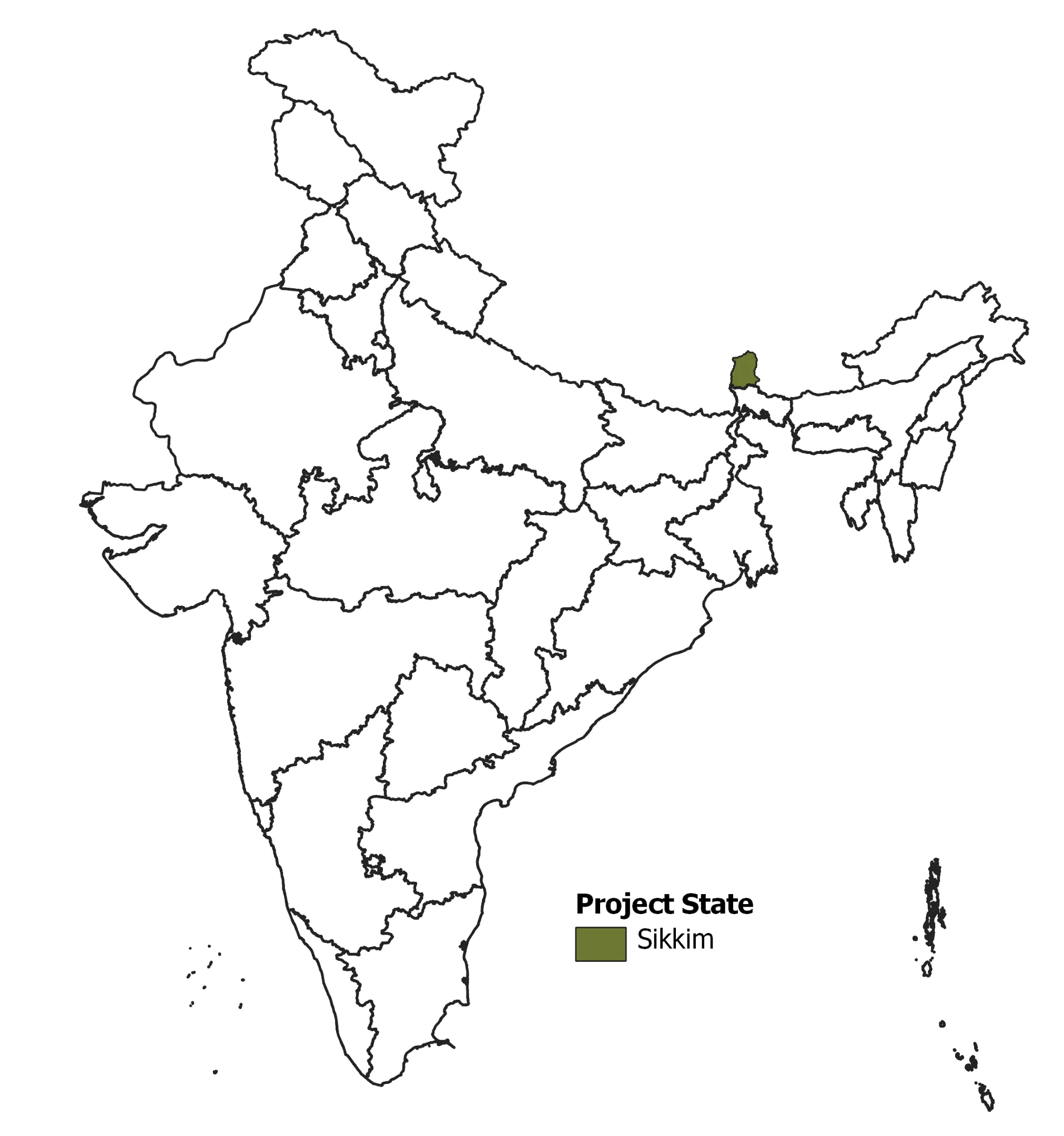
Building on the GEF-funded SECURE Himalaya project, IORA worked on the “Preparation of land use maps, vegetation cover and biodiversity status report for Upper Teesta – Khangchendzonga Landscape, Sikkim”.
Under the project, IORA was engaged in discerning and prioritising regions with varying biodiversity. It analysed the relationship between regional biodiversity and existing land use. The study entailed detailed explanations on the use of high-resolution spatial and non-spatial datasets. These explanations guide how these datasets can delineate land use and land cover of the entire landscape and the areas administered as per the various socio-legal rights including reserved forests, protected areas, natural and anthropogenic habitats.
We also conducted socio-economic surveys and focused group discussions (FGD) in the region to quantify the economic value of floral biodiversity and overall land use by the local communities. Cost-effective and implementable recommendations that may aid in monitoring the health of the landscape, were also shared.